


January 19, 2026
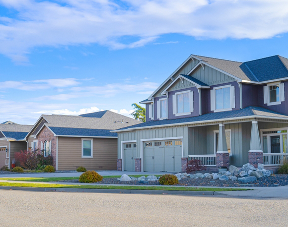
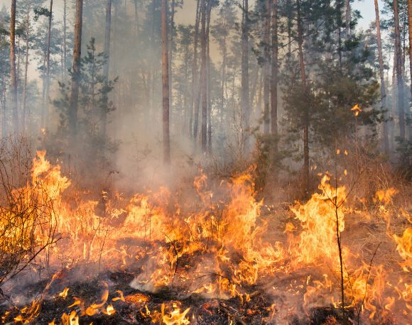
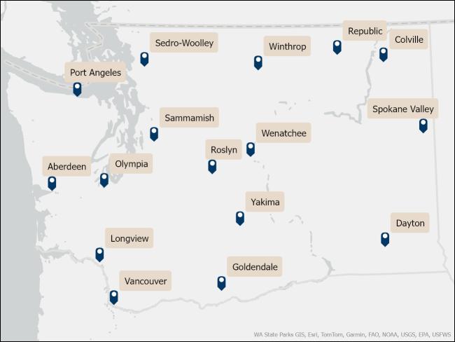
The Washington Department of Natural Resources (DNR) is starting to host public listening sessions across the state where they are unveiling the new wildfire hazard map which will be used to apply the Wildland-Urban Interface (WUI) code. Interested members of the public can attend and hear from DNR staff about the process and methodology for creating the maps and provide feedback.
Find more information on the listening sessions here.
The map is still being processed but you can view the initial draft (which contains Western and Central WA).
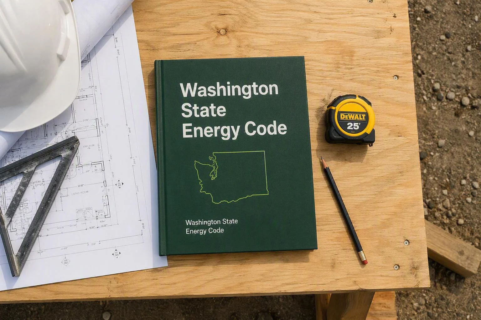
DNR’s work on the Wildfire Hazard and Risk Mapping project is directed by Senate Bill 6120 (2024). After creating an initial risk map, they are forming the wildfire hazard map. The final map will designate areas of Washington as low, moderate, high, and very high. Once the map is complete only high and very high areas (red and magenta on the map) will be subjected to limited portions of the WUI code as required by state law (RCW 19.27.560).
Washington state’s adoption of the WUI code was rescinded during the development of the maps. Once the wildfire hazard map is complete the State Building Code Council will begin work on formally adopting code language matching RCW 19.27.560. Unlike other codes in Washington, local jurisdictions may adopt the International WUI Code in whole or in part.
BIAW members can attend listening sessions close to them to hear directly from DNR and learn more about the mapping process. Additionally, they can provide feedback to DNR on the accuracy of community aggregate unit boundaries.